
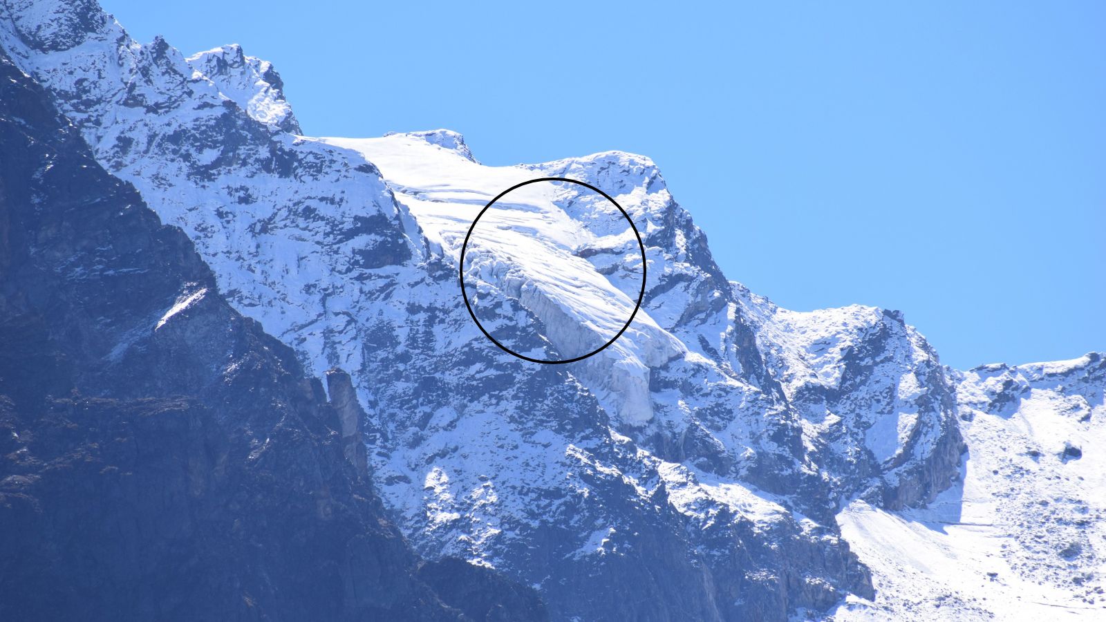
A new study published on October 28 warns that a hanging glacier collapse above Badrinath could damage 398 buildings and 2.66 km of roads. Researchers from IISc and DRDO assessed three glaciers. The study said, "As glaciers transition toward more temperate conditions, reduced basal resistance enhances the likelihood of ice detachment."
A new modelling study funded by the DRDO assessed the vulnerability of three hanging glaciers above Badrinath and the risk they pose to the pilgrimage town.
An ice avalanche triggered by the collapse of the largest of three hanging glaciers above Badrinath could damage nearly 398 buildings, 2.66 km of roads, two bridges, a helipad and a parking area in the Himalayan pilgrimage town, according to a worst-case scenario derived by a new modelling study funded by the Defence Research and Development Organisation (DRDO).
The peer-reviewed paper, published in the Landslides journal on October 28, assessed the vulnerability of three hanging glaciers located between 4,700 and 5,465 metres above sea level and the risk they pose to Badrinath pilgrimage town if they detach from the mountains.
The study was carried out by researchers from the Indian Institute of Science (IISc), the University of Cambridge, and DRDO.
The findings are a warning for Badrinath, located at an elevation of approximately 3,415 metres above mean sea level along the banks of the Alaknanda River, a major tributary of the Ganga. One of India's most visited pilgrimage sites, the temple drew around 1.7 million people during the 2025 Char Dham yatra.
What are hanging glaciers?
Hanging glaciers are ice bodies located on mountain slopes or terminating abruptly at bedrock cliffs, detached from the valley floor. They are prone to detachment or slope failure, which can lead to ice avalanches that trigger the release of a large volume of water and debris in a short duration.
"As glaciers transition toward more temperate conditions, reduced basal resistance enhances the likelihood of ice detachment and largescale failure," the study said.
The research was conducted by Abhilash Gogineni, Anil V Kulkarni, Rayees Ahmed from Divecha Centre for Climate Change, IISc, H S Negi and Anurag Sharma from DRDO, and Nandu Krishnan from Department of Geography, University of Cambridge.
Worst-case scenario
Researchers used high-resolution satellite imagery and elevation models to identify hanging glaciers around Badrinath. Glaciers with mean surface slopes of 30° or more were screened for instability, and those located close to the town were selected for the assessment.
The selected glaciers were assessed for their volume, depth and their vulnerable portions. This data was used to run avalanche simulations for all three sites.
Of the three, the second hanging glacier site showed the biggest risk of post-failure damage. It contains an estimated 5.32 million cubic metres of volume and a steep slope of 34.57°. Simulations showed that in the event of a disaster, this glacier would attain a peak velocity of 78.5 metres per second and a flow height reaching 73.5 metres.
The study said the modelling showed the Badrinath Dham shrine was not expected to be directly hit, though rock and debris that typically get accumulated during such events could impact it.
Buffer zones and construction curbs
Researchers called for prioritising the demarcation of avalanche impact and buffer zones based on worst-case scenarios, including the highest runout of glacial material, debris and flow, and restricted regulations on new construction and infrastructure.
Speaking to The Indian Express, senior glaciologist Anil V Kulkarni, one of the paper's co-authors, said, "This research can be important for standardising the methodology to assess risks for towns around hanging glaciers, and it could be replicated for other sites. Previously, in April this year, 219 hanging glaciers were identified in another paper."
The earlier study had found that about 30 per cent of the 219 identified hanging glaciers were in the Alaknanda basin and had unstable ice mass.
Need for hazard mapping
The researchers said that although one glacier showed the maximum damage potential, the other two could not be considered minor threats. They added that the findings highlight the need for comprehensive hazard mapping and mitigation planning across the region.
The study also added a caveat about limitations, citing uncertainty in the selection of friction parameters and the resulting flow behaviour and runout estimates. "Release volumes and ice thickness were derived from remotely sensed data and model-based estimates, rather than direct field measurements, which may affect the absolute magnitude of simulated avalanche characteristics," the study noted.