
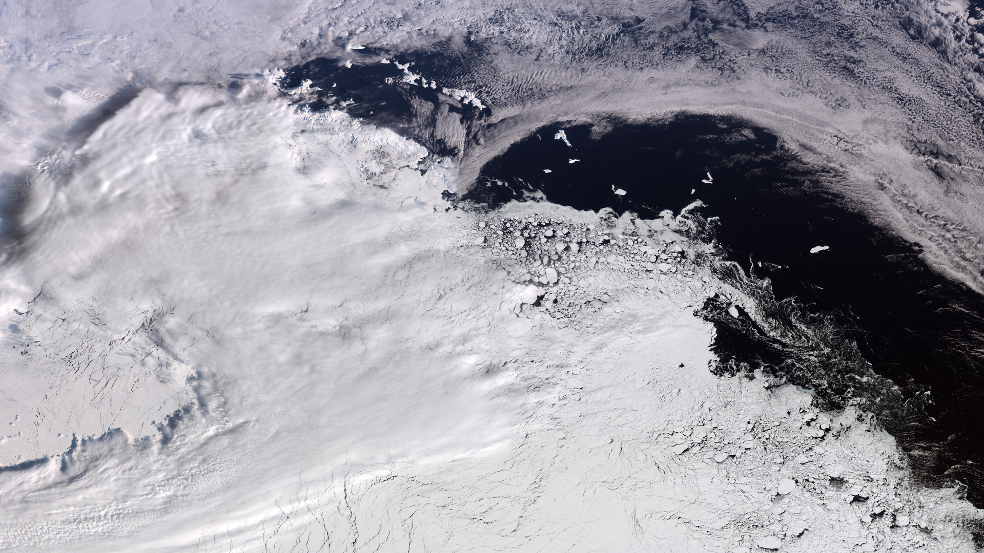
The European Space Agency’s Copernicus Sentinel-3 mission captured a clear view of Elephant Island from orbit on Sept. 30, 2026. This icy landscape sits off the Antarctic coast. The image showed the region just after winter ended. Sea ice levels in Antarctica fell shortly after their peak on Sept. 14.
Antarctica is a magnificent sight, and that beauty is visible all the way from space.
What is it?
Orbiting planet Earth, the European Space Agency's (ESA) Copernicus Sentinel-3 mission captured a close-up of West Antarctica.
Winter is ending in the Southern Hemisphere, meaning this is the peak of icy weather and sea ice in the Arctic.
In this image snapped by Sentinel-3, you can see a massive swath of ice which includes Elephant Island on the left-hand side. An ice-covered island off the Antarctic coast, Elephant Island floats in the Southern Ocean. It got its name both from the island's shape, which some liken to that of an elephant's head, and the fact that the island is home to a community of elephant seals.
Why is it incredible?
While a seal-inhabited island on the left floats near the Antarctic coast, across the water is a vast, frozen landscape. In just this snapshot, you can see about between 746 and 1,056 miles (1,200 to 1,700 kilometers) of the icy continent.
This image was captured on Sept. 30, 2026. In the Southern Hemisphere, that was just past the end of winter. The absolute peak for sea ice in Antarctica fell just a couple weeks before, on Sept. 14, according to the National Snow and Ice Data Center, ESA reported.