
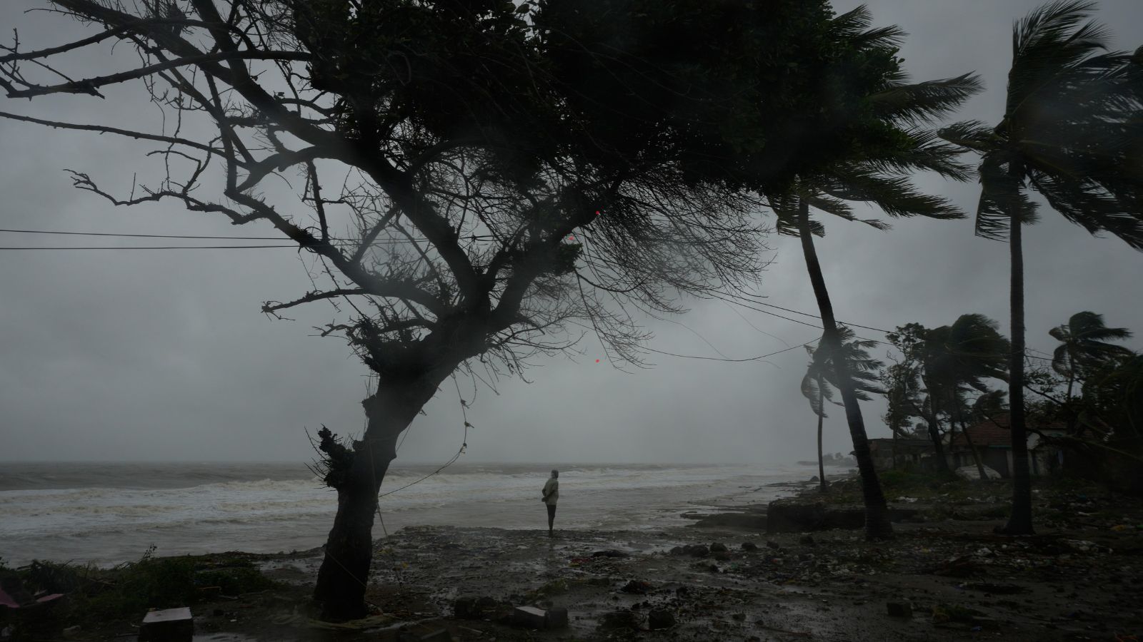
The India Meteorological Department issued a yellow alert for South Bengal districts as Cyclone Akvan intensifies. Rain is expected from Wednesday, with alerts in place from Thursday to Sunday. Coastal areas face heavy rain and gusty winds. Meanwhile, the cyclone should make landfall on the Andhra Pradesh coast on Friday.
While the IMD has issued a yellow alert for South Bengal districts, no rain is forecast for the northern districts.
As Cyclone Akvan intensifies over the Bay of Bengal, the India Meteorological Department (IMD) has forecast rain in West Bengal from Wednesday, with yellow alerts issued for all southern districts from Thursday to Sunday.
Scattered light rain and thundershowers are likely to occur in Kolkata, Howrah, North and South 24 Parganas, and East and West Midnapore districts on Wednesday. Dry weather is expected to prevail in other South Bengal districts.
The coastal districts of South 24 Parganas and East and West Midnapore are expected to receive heavy rainfall of 7-11 cm at isolated pockets, along with thunderstorm, lightning, and gusty winds of 30-40 kmph on Thursday and Friday. A few pockets of Jhargram will also experience heavy rain on Friday. In other parts of these districts, fairly widespread light rain and thundershowers have been forecast.
The other south Bengal districts -- Kolkata, Howrah, Hooghly, North 24 Parganas, Purulia, Bankura, East and West Bardhaman, Birbhum, Murshidabad, and Nadia -- are expected to witness thunderstorms and lightning, with gusty winds of 30-40 kmph in a few places.
While the yellow alert has been issued till the early hours of Sunday, light to moderate rain and thundershowers are expected to continue till the early hours of November 24. No large temperature changes are expected.
The IMD has forecast no rain in North Bengal.
Cyclone Akvan landfall expected on Friday
The deep depression that intensified into Cyclone Akvan on Monday was situated 610 km from Chennai, 630 km from Trincomalee, and 670 km from Visakhapatnam in the early hours of Tuesday, the IMD said. The cyclone is expected to make landfall in the early hours of Friday on the Andhra Pradesh and Yanam coast, with wind speeds gusting to 145 kmph.
The IMD has warned of lightning strikes in open fields, temporary waterlogging in low-lying areas and underpasses on Thursday and Friday, and damage to standing crops and horticulture. It has advised people to avoid places under trees and electric poles and contact with waterbodies.
While no warning has been issued for fishermen along the West Bengal coast, they have been advised not to venture into deep sea between Tuesday and Friday.
The distant caution warning at the Kolkata and Haldia ports has been replaced with a distant warning signal No. 2, which warns vessels of a cyclone at sea. A corresponding storm warning has also been issued at the Sagar Port.
Sharanyo Basu is an intern with The Indian Express.