
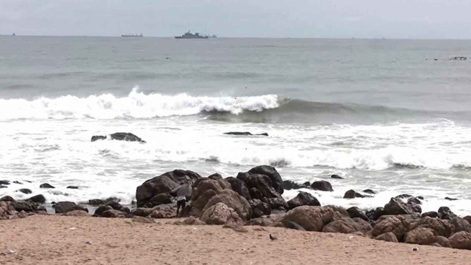
Cyclone Murasu was centred over the West-Central and adjoining Southwest Bay of Bengal on Monday morning. The storm is set to cross the south Andhra Pradesh coast early Tuesday. Bengal will see light rain in some districts, but dry weather will soon return. Fishermen should avoid the sea until Wednesday.
As of Monday morning, Cyclone Murasu was centred over the West-Central and adjoining Southwest Bay of Bengal.
In view of Cyclone Murasu -- projected to cross the south Andhra Pradesh coast in the early hours of Tuesday -- the Regional Meteorological Centre in Kolkata has forecast light rain or thundershowers at one or two places in North Bengal districts till 8.30 am on Tuesday and in South Bengal districts on Wednesday as well.
Darjeeling and Kalimpong districts may receive light rain later on Tuesday, while dry weather prevails elsewhere in the north. Dry weather is expected across all districts in the region from Wednesday till the end of the week.
For South Bengal, light rain or thundershowers are likely at one or two places across all districts on Tuesday and Wednesday. Light to moderate rain or thundershowers are likely at one or two places over North 24 Parganas, South 24 Parganas, Kolkata, Howrah, Hooghly, East Midnapore, West Midnapore, Jhargram, Bankura, and Purulia districts, with dry weather expected over the rest of the region. Dry conditions will dominate the southern districts from Wednesday to Sunday.
The minimum temperature is forecast to show no large change over the next two days, followed by a gradual fall during the subsequent three days.
Sea conditions are expected to be rough to very rough from Monday evening until Wednesday morning, remaining rough until that evening. No weather warnings or swell surge alerts have been issued for South Bengal districts and the West Bengal coast. However, fishermen are advised not to venture towards the West Central Bay of Bengal, the adjoining North West Bay of Bengal, and the South Odisha coast until Wednesday.
Squally weather with wind speeds reaching 40-50 kmph gusting up to 60 kmph is likely along and off the South Odisha coast and adjoining areas of the Northwest Bay of Bengal from Monday morning. This is expected to increase to 50-60 kmph, gusting up to 70 kmph from that evening until Tuesday noon before decreasing gradually.
Landfall between 12.30 am and 4 am on Tuesday
As of 8.30 am on Monday, Cyclone Murasu was centred over the West-Central and adjoining Southwest Bay of Bengal. Moving west-northwestwards at a speed of 22 kmph, the storm was located approximately 160 km east-southeast of Nellore (Andhra Pradesh), 180 km northeast of Chennai (Tamil Nadu), 180 km east-southeast of Kavali (Andhra Pradesh), 210 km southeast of Ongole (Andhra Pradesh), and 240 km south of Machilipatnam (Andhra Pradesh).
Meteorologists predict the system will maintain its northwestward trajectory and make landfall between Nellore and Narsapur to the south of Ongole at 12.30 am and 4 am on Tuesday. At landfall, it is expected to pack maximum sustained wind speeds of 100-110 kmph, gusting up to 120 kmph.