
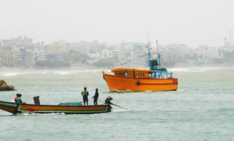
Cyclone Murasu crossed the southern Andhra Pradesh coastline between 03:30 AM and 05:30 AM on 3 November. AP Meteorological Department Director K Nagaratna said, "Fishermen are advised not to venture into the sea even today till 4th November." Authorities issued a red alert for many districts expecting heavy rainfall.
Vijayawada: Andhra Pradesh Meteorological Department Director K Nagaratna on Tuesday noted that Cyclone Murasu crossed the southern coastline between 03:30 AM and 05:30 AM. The system moved north-northwestwards at a speed of 8 kmph over the preceding six hours. She also advised the fishermen not to venture into the sea until November 4.
"This severe cyclonic storm Murasu moved in a north-northwest direction and crossed the south coastal Andhra Pradesh coast near Ongole, around 15.53 degrees north latitude and 18.22 degrees east longitude, between 03:30 IST and 05:30 IST on 3 November, bringing gusty winds that reached 100 to 110 kilometres per hour, peaking at 120 kilometres per hour at times," she said. The severe cyclonic storm Murasu formed over the Bay of Bengal and made landfall along the Andhra Pradesh coast early this morning, she said.
Speaking in Vijayawada, Nagaratna said that at the time of landfall, gusty winds were blowing at a speed of 100 to 110 kmph, gusting up to 120 kmph. The landfall process will take another two hours to complete. The cyclone is centred roughly 30 km from Ongole, 50 km from Kavali, 70 km from Bapatla, 100 km from Nellore, and 140 km from Machilipatnam. It has been moving at a speed of 8 kmph during the past 6 hours and is likely to cross the coast near Ongole.
"At present the severe cyclonic storm Murasu lies over 15.45 degrees latitude and 80.25 degrees east longitude and it's nearly 20 kilometers east southeast of Ongole, 60 kilometres south southwest of Bapatla and 70 kilometers north northeast of Kavalli and 100 kilometers around north northeast of Nellore and the landfall process that is already happening near to Ongole is likely to continue for next 1 to 2 hours and this gale winds associated at present with this system are continuing to be 100 to 110 kilometers per hour at times 120 kilometers per hour," she said.Red alert has been issued in many places in Krishna, Guntur, Bapatla, Palnadu, Markapuram and Prakasam districts, and people should remain extremely vigilant in view of expected heavy rains. "In association with the severe cyclonic storm, there is a likelihood of heavy rainfall occurring in coastal Andhra Pradesh and south coastal Andhra Pradesh. Red warnings have been issued to Krishna, Guntur, Bapatla, Palnadu, NTR, and Prakasam.
Fishermen are advised not to venture into the sea even today till 4th November morning, and there is a total suspension of offshore and onshore operations till the operations are reviewed as per the warnings of IMD. It is better to follow IMD updates and further advices till the cyclonic storm has weakened," she said.She underlined that a storm surge reaching 1 to 1.5 meters above astronomical tides is projected to inundate low-lying coastal areas across southern coastal Andhra Pradesh through the morning of November 3. The highest tidal surge is expected over the Bapatla region, situated between Krishna and Prakasam districts.
"Regarding rainfall impacts, most places across coastal Andhra Pradesh are likely to receive light to moderate rains today. Heavy to very heavy rain is likely to occur at a few places, and extremely heavy rainfall is expected at one or two places in central coastal Andhra Pradesh. A storm surge of around 1 to 1.5 meters above the astronomical tide is likely to inundate low-lying areas of south coastal Andhra Pradesh through the morning of 3 November. The maximum peak surge is expected over the Bapatla region between the Krishna and Prakasam districts, after which it is expected to gradually decrease," she said.