
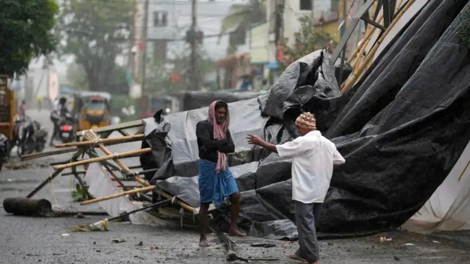
A new cyclone is heading towards the Andhra Pradesh coast, with landfall likely on Monday. The India Meteorological Department said a low-pressure area over the Bay of Bengal will intensify into a storm by Sunday. Coastal regions should prepare for heavy rain, as the weather system moves west-northwestwards this week.
A weather system over the southeast Bay of Bengal is expected to intensify into a cyclonic storm by Sunday and move towards the Andhra Pradesh coast by Monday evening.
Less than a week after cyclone Arnab wreaked havoc along its coast, Andhra Pradesh will have to brace for another cyclonic storm, with a low-pressure area developing over the southeast Bay of Bengal.
On Saturday, the India Meteorological Department (IMD) said a cyclone would develop in the southeast Bay of Bengal and cross the Andhra Pradesh coast on November 2.
"A well-marked low-pressure area has developed on Saturday along the southeast Bay of Bengal close to the Andaman and Nicobar Islands in the Andaman Sea. It is likely to move west-northwestwards and concentrate into a depression over the same region by Saturday evening," a special IMD bulletin issued on Saturday afternoon said.
Murasu name suggested
The weather system is expected to intensify into a cyclonic storm by Sunday and move towards the Andhra Pradesh coast by Monday evening. Coastal Andhra Pradesh and Yanam are expected to see heavy rainfall in view of the approaching cyclone.
If realised, it will be named Murasu, a name proposed by India that means 'drum' in Tamil.
Heavy rain forecast for southern states
The IMD has forecast heavy rainfall in Tamil Nadu, Puducherry and Karaikal until November 5. Kerala and Mahe are also likely to receive rainfall until November 4.
The IMD has also warned of rough sea conditions along the Andhra Pradesh coast. Winds reaching speeds of 30-40 kmph, with gusts of up to 50 kmph, are likely over coastal Andhra Pradesh, Yanam (Puducherry) and Rayalaseema until November 1.