
The World Meteorological Organization released its State of Global Water Resources 2025 on September 17, highlighting growing hydrological risks in South Asia. While river flows were high, groundwater and glaciers fell. Experts said, "High flow, therefore, does not necessarily mean improved water security," as storage levels remain low across many regions.
The World Meteorological Organization's (WMO) State of Global Water Resources 2025, released on September 17, 2026, highlights South Asia's growing hydrological risks. Its rivers depend on the Himalayan and Tibetan highlands and cross national boundaries. Flows are becoming less predictable even as groundwater, snow and glaciers decline.
WMO reports that 2025 was one of the driest years for global river discharge in the 35-year record, with below-normal flows across 36% of global basin area. For seven consecutive years, only 34-38% of river basins experienced normal conditions, compared with 46% during 1991-2020. This signals variability rather than uniform drying. In South and Southeast Asia, discharge was above to much above normal in 2025, yet terrestrial water storage remained below normal in the Ganges-Indus headwaters during 2021-2025. Northern India recorded below-normal storage in 2025, and northwestern India had groundwater deficits. High flow, therefore, does not necessarily mean improved water security.
WMO identifies declining terrestrial water storage since approximately 2014-2016. Nearly two-thirds of monitored wells worldwide were outside their historical range in 2025, with conditions shifting towards deficit. Thus, annual rainfall and river discharge alone cannot measure basin-scale water security.
WMO reports that 2025 was the fourth consecutive year of widespread glacier loss across all major glaciated regions. Glaciers lost approximately 408 ±132 gigatonnes of mass during the 2025 hydrological year; cumulative loss during 2023-2025 reached about 1,400 gigatonnes of water. South Asia West and Central Asia recorded mass balances among their three most negative years on record. Himalayan melt can increase short-term runoff and hazards, while ice loss reduces long-term storage and alters seasonal flows.
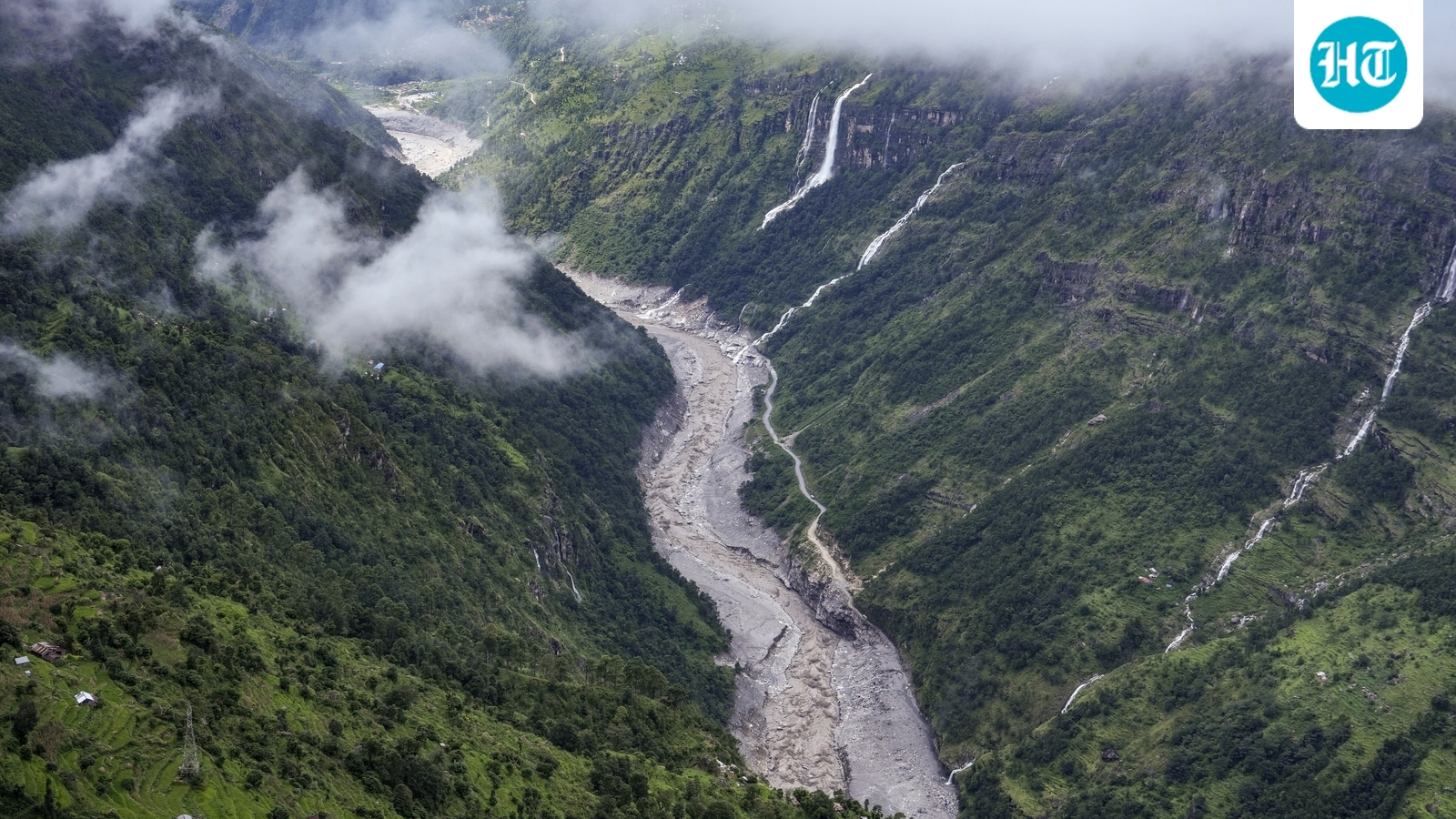
The 26 August 2026 Rasuwa disaster illustrates compound mountain hazards. A World Weather Attribution (WWA) assessment released on September 17 examined a rock-ice avalanche from Langtang Lirung on the Nepal-China border. About 2 km² of rock wall and glacier ice collapsed from around 5,150 m to 3,750 m, becoming a debris flood and then a water-dominated flash flood. It reached Rasuwagadhi, about 22 km downstream, within seven minutes at an estimated average speed of 188 km/h, then travelled roughly 200 km to Devghat in under seven hours, where discharge more than doubled to around 5,850 m³/s.
Contributing factors included geology, possible effects of the 2015 magnitude-7.8 earthquake, permafrost degradation, glacier retreat, increased meltwater and precipitation shifting from snow to rain. Langtang-Lirung glacier recession accelerated after 2010; the monsoon and post-monsoon 0°C isotherm has risen about 100 m per decade. WWA does not conclude that human-caused climate change directly triggered the failure, but identifies warming as a destabilising influence. Its analysis estimates human-caused warming raised July-August temperatures near the site by about 1.5°C and annual temperatures by approximately 2°C. The event shows why these hazards must be assessed together.
Flash floods along Nepal's Budhi Gandaki River on October 11, 2026 provide another example. In Gorkha district, a landslide near Chumchet appears to have temporarily blocked the river. A preliminary assessment by the International Centre for Integrated Mountain Development (ICIMOD) suggested that blockage failure may have released a sudden, debris-laden surge. Rock avalanche and possible glacial ice are also being investigated; the precise trigger remains uncertain.
Reports said dozens of houses were swept away, bridges damaged or destroyed, and three hydropower projects affected, including the 341-megawatt Budhi Gandaki site at Salleri. Electricity and communications were disrupted; damaged routes isolated communities and stranded trekkers. By October 14, authorities reported 648 rescues, including 49 foreign tourists. Five local residents were initially reported missing; no deaths had been confirmed in early official accounts, and figures remained provisional. Alerts covered the Budhi Gandaki, Trishuli and Narayani systems; reports said SMS warnings helped residents reach safer ground.
In April 2024, an ice avalanche from Manaslu Glacier entered Birendra Tal and displaced lake water into the Budhi Gandaki. An ICIMOD-led assessment classified this as water displacement, not a glacial lake outburst flood. These events show that geological and glacial processes can trigger sudden floods; the 2026 event should not be automatically attributed to rainfall or climate change.
WMO's assessment has expanded from seven countries and 14 river stations to 68 countries and more than 3,000 stations, integrating ground observations, satellite data and modelling. Yet Asia and Africa remain underrepresented despite accounting for at least half of recorded hydrological extremes and more than 80% of associated deaths over the past five years. WWA calls for stronger high-Himalaya observation, hazard monitoring, risk communication and cross-border data sharing. Rasuwa exceeded conventional warning systems' predictive and design limits.
Early-warning frameworks should detect landslide-dammed rivers, rapidly assess potential blockage failure, monitor river levels in real time and trigger pre-emptive evacuation. Alerts should use SMS, authorities, loudspeakers and community networks. Evacuation routes and rehearsed procedures are crucial when failure leaves little lead time.
The 18th BRICS Summit in New Delhi offered an institutional opportunity. Its New Delhi Declaration welcomed the BRICS Guidelines for Disaster Management Early Warning Data Integration and emphasised early warnings, risk-informed planning, anticipatory action, resilient infrastructure and evidence-based policymaking. Cooperation should complement -- not replace -- river treaties and national institutions, with interoperable data standards, basin-scale modelling and faster actionable warnings.
For South Asia's transboundary basins, resilience requires robust infrastructure, hydrometeorological and geohazard observations, real-time monitoring, cross-border data exchange, forecasting and interoperable warnings linked to evacuation plans. These capabilities help manage scarcity and hydrological extremes.