
An IMD study shows Marathwada and west Vidarbha shifted into a hotter, drier climate zone over 70 years. While Konkan’s wet zone expanded, interior Maharashtra faces rising temperatures. Experts said, “Marathwada and west Vidarbha now lie in a hotter, drier climate zone than they did in the 1960s.” This impacts farming.
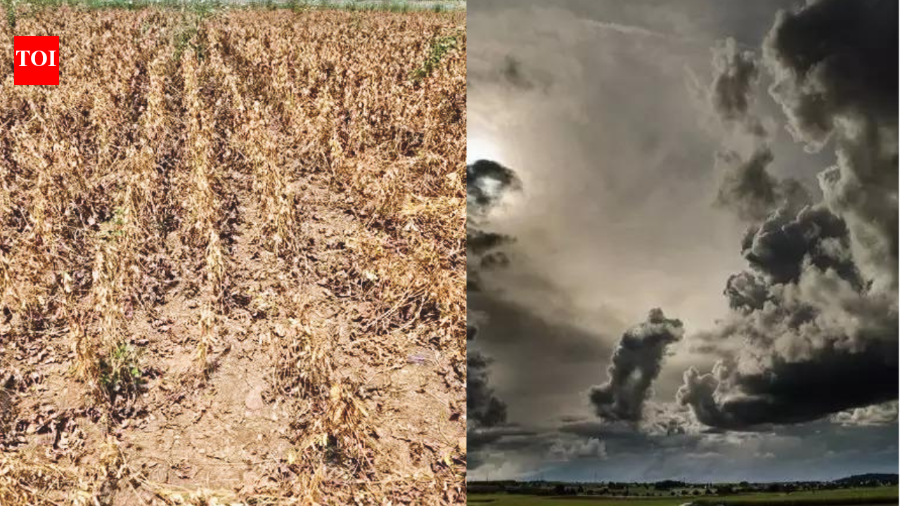
Maharashtra's interior regions are shifting to a hotter, drier climate zone while the Konkan coast is experiencing increased rainfall (Representative image)
MUMBAI: Maharashtra’s interior and coastline are moving in opposite climatic directions, with Marathwada and west Vidarbha shifting into a hotter, drier climate zone while the country’s wettest climate zone has expanded along the Konkan coast, an India Meteorological Department (IMD) study has found. The findings raise concerns over how farmers, water managers and policymakers prepare for changing rainfall and temperature patterns. The warning comes as the state grapples with a deficient monsoon, with drought declared in 265 of its 358 talukas on September 26. Maharashtra’s seasonal rainfall deficit stood at 19%, against a national shortfall of 12.6%, in a year marked by El Niño conditions that tend to weaken the southwest monsoon. Published in IMD’s peer-reviewed journal MAUSAM in October 2026, the study by scientists from IMD and the Indian Institute of Tropical Meteorology (IITM), Pune, uses 70 years of weather observations to map changes in India’s climate zones between successive 30-year periods. The most consequential shift for Maharashtra’s interior is from the tropical savannah zone to the hot semi-arid zone. Marathwada and west Vidarbha, which largely belonged to the former in 1961–1990, had moved into the latter by 1991–2020. The researchers attribute this transition mainly to rising daytime and night-time temperatures. The tropical savannah climate has a long dry season, while the hot semi-arid zone is characterised by high temperatures and low rainfall. Such changes matter for agriculture because they can influence crop suitability, sowing windows and irrigation requirements. Along the coast, the trend is markedly different. The tropical monsoon zone, characterised by heavy seasonal rainfall, has expanded across the Konkan, Goa, coastal Karnataka and Kerala. The study identifies a broader pattern of increasing rainfall over southern India, even as rainfall has declined over the northern plains. The shift in Maharashtra’s interior is not apparent in aggregate figures for central India, where the hot semi-arid zone contracted slightly. The state-level change emerges from the detailed climate maps, underlining how regional averages can mask important local trends. “This year’s drought in Marathwada and Vidarbha is an El Niño drought, and our study does not look at individual seasons. But it does show that Marathwada and west Vidarbha now lie in a hotter, drier climate zone than they did in the 1960s. A failed monsoon like this one lands on a climate that has itself shifted, so water and farm planning in the region has to account for that,” said Ananya Karmakar of IMD Pune, the study’s lead author. The study does not establish that the long-term climate shift alone caused the current drought. Rather, it highlights the changing background conditions against which seasonal rainfall failures occur. The west coast, too, experienced a deficient monsoon this year. Goa recorded a rainfall shortfall of 34%, while Kerala and coastal Karnataka were 28% below normal, according to the data cited in the study note. IMD director-general of meteorology and co-author Mrutyunjay Mohapatra said the contrasting long-term changes needed to be incorporated into weather advisories for farmers. The researchers called for close monitoring of climate-zone shifts and their integration into long-term agricultural planning. For Maharashtra, the findings point to the need for region-specific strategies, strengthening heat and drought resilience, water conservation and crop planning in the interior, while accounting for changing rainfall risks along the coast. The study, 'Identifying the climate zones shifts of Indian meteorological subdivisions: insights from historical records', classifies India’s meteorological subdivisions using the Köppen–Geiger system and IMD gridded rainfall and maximum and minimum temperature data for 1951–2020. The climate maps are based on 30-year averages updated every decade.