
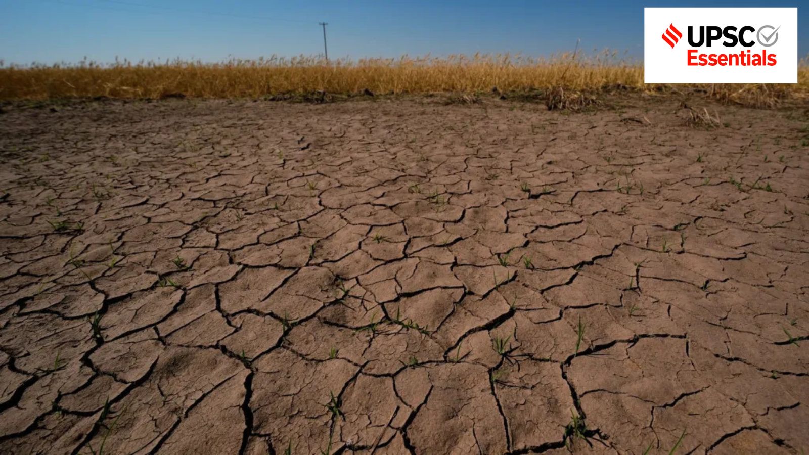
Telangana formed a Cabinet Sub-Committee as 315 mandals face drought-like conditions. India recorded 13% less rainfall during the June-September monsoon season against its long-period average. Karnataka, Maharashtra, and Andhra Pradesh also declared drought in various parts. Experts say rainfall deficit, timing, and geographical distribution are critical factors behind India's drought risk.
How do the country's drought monitoring and management programmes seek to mitigate its impact?
A Cabinet Sub-Committee to review drought and El Niño conditions has been formed in Telangana, as the state grapples with drought-like conditions in 315 out of 621 mandals.
Amid concerns around El Niño strengthening through the season and imbalance in rainfall distribution, Karnataka, Maharashtra and Andhra Pradesh have also formally declared drought across various parts of their respective states.
What are the key characteristics of drought? Why are recent droughts of longer duration, high temperatures, and larger spatial extent?
Factors behind India's drought risk
Droughts are now becoming more frequent globally. According to the 2025 Global Assessment Report (GAR) on Disaster Risk Reduction, there has been a 29% increase in droughts in the last 20 years. India is also witnessing a similar trend, and about two-thirds of its area is drought-prone.
The El Niño phenomenon, persisting in the equatorial Pacific Ocean, affected this year's monsoon season (June-September) in India. The country recorded 13% less rainfall (only 759.4 mm) against its long-period average (LPA) of 868.6 mm rainfall. LPA is the average rainfall received in the monsoon season over the 50-year period between 1971 and 2020.
Monthly data shows that June experienced a 35% shortfall (65% of LPA), while August received only 84% of LPA. August is the second rainiest month of the season after July. It accounts for 29 per cent of the seasonal rainfall compared to 32 per cent in July.
Spatial distribution shows South Peninsula and East and Northeast India as the most rainfall-deficient regions, receiving only 76% and 74% of their LPA, respectively. The rainfall deficit, its timing, and geographical distribution are the three critical factors behind India's drought risk.
Drought and its types: From rainfall deficit to ecological stress
The World Meteorological Organization (WMO) defines drought as a prolonged dry period in the natural climate cycle that can occur anywhere in the world. It is typically a slow onset phenomenon caused by a lack of rainfall.
Notably, the India Meteorological Department (IMD) began using the word 'deficient rainfall' instead of drought from 2016. The declaration of drought is an administrative decision taken by the respective state governments.
Droughts can be broadly categorised into five main types: Meteorological, Agricultural, Hydrological, Socio-Economic and Ecological. The first four droughts are mainly human-centric, and scientists have added ecological drought as another type.
Meteorological drought: The IMD defines meteorological drought as a situation when seasonal rainfall is less than 75% of its LPA. If the rainfall deficit is between 26-50%, it is classified as 'moderate drought', while more than 50% deficit is classified as 'severe drought'. The assessment also considers the degree and length of dryness.
Agricultural drought: It occurs when the inadequate rainfall depletes the soil moisture and declines the groundwater level needed for irrigation.
Hydrological drought: When the rainfall deficit starts depleting surface and groundwater sources such as reservoirs, lakes, streams and rivers, it is called Hydrological drought.
Socio-economic drought: Abnormal water shortage has a wider impact on the economy of the given region. It causes demand supply imbalance in goods (like agricultural products) and services due to weather related shortage in water supply.
Ecological drought: It is defined as "episodic deficit in water availability that drives ecosystems beyond thresholds of vulnerability, impacts ecosystem services, and triggers feedbacks in natural and/or human systems" by Shelley D Crausbay et al. in Defining Ecological Drought for the Twenty-First Century (2017).
Examples of the impact of ecological drought include seasonally or permanently stunted plant growth, reduction in the number of local species, changed flow regime of water bodies and their dependent aquatic life.
How is drought declared and assessed?
Updated Manual of Drought Management (2020), prepared by the Ministry of Agriculture and Farmers Welfare, describes the declaration of drought in a state as the first government response towards this weather phenomenon.
The decision to declare drought over a specified administrative unit (District/Taluka/Tehsil/ Block/Gram Panchayat level) should be guided by objective parameters and made without undue delay so that relief assistance and concessions can be provided to the drought-affected people in time, it adds.
The methodology and parameters of drought monitoring and declaration can vary between states. Rainfall, vegetation, crop, water and others are five categories of indicators, which are used in the assessment of drought.
Rainfall
Rainfall deficiency is the primary trigger of drought assessment, apart from departure from LPA (at least 30 years or more). Other rainfall-related parameters include the Standardised Precipitation Index (SPI), which measures precipitation anomalies, and the occurrence of dry spells.
Vegetation
For vegetation monitoring, satellite-based observations are used. The National Agricultural Drought Assessment and Monitoring System (NADAMS), developed by the National Remote Sensing Centre (NRSC), uses multiple satellite data, rainfall, soil moisture index, potential sowing area, irrigation percentage and ground observations.
Indices such as Normalised Difference Vegetation Index (NDVI), Normalised Difference Wetness Index (NDWI) and Vegetation Condition Index (VCI) are prepared and published on a fortnightly/monthly basis.
Crop and water
The status of crops is monitored by looking at data on area under sowing and soil moisture conditions. Data from the Central Water Commission (CWC) and the Central Ground Water Board (CGWB) is considered to estimate groundwater table depletion, reduction in stream-flow and change in reservoir storage.
In addition, ground truthing is a mandatory field observation under the drought manual. It requires field officers to conduct sample surveys across 10% of drought-affected villages selected randomly for official drought declaration. The declaration is carried out through a state government notification clearly stating the geographical extent, administrative units, and the intensity level of the drought.
Sowing thresholds, timelines and relief
According to the drought manual, if the total sown area for Kharif crops is less than 85% of the total normal sown area by the end of July/August, drought conditions could be said to exist. In the case of Rabi crops, coverage of sowing of less than 85% of the total normal sown area during October/November is a strong indicator of a drought-like development.
Therefore, the declaration of drought calamity in the Kharif season should be done before October 31, and the Rabi drought should be declared before March 31. However, a significantly lower rainfall in June and July, coupled with a prolonged dry spell, may lead to a reduction in the overall crop sown area. In such a situation, an early drought can be declared even in August.
The official declaration of drought enables state governments to mobilise financial resources from the State Disaster Response Fund (SDRF) and to take other suitable emergency measures to address water scarcity and livelihood losses. If the disaster is of a 'severe nature', states can ask for additional financial assistance from the National Disaster Response Fund (NDRF), as per laiddown procedure.
These measures address the immediate consequences of drought. Other long-term programmes also seek to reduce drought vulnerability and strengthen the resilience of the drought-prone areas.
Evolution of drought mitigation policy
One of the first comprehensive area-development initiatives for drought management in post-independent India was the Drought Prone Area Programme (DPAP), introduced during the fourth Five-Year Plan (1969-1974). Subsequently, other programmes such as the Desert Development Programme (DDP) and the Integrated Wastelands Development Programme (IWDP) were also launched.
Since 1995, the 'watershed management' has emerged as a prominent approach for implementing these area-development programmes. Unlike conventional planning based on administrative boundaries, this approach uses a watershed or a hydrological unit - the area from which water drains into a common outlet - for implementing the conservation and management of natural resources like water and soil.
In 2008-09, DDAP, DDP and IWDP were merged under a single programme called the Integrated Watershed Management Programme (IWMP) for the development of rainfed and degraded areas.
Later on, an umbrella scheme called 'Pradhan Mantri Krishi Sinchayee Yojana'(PMKSY) was launched in 2015. The scheme proposed to provide end-to-end solutions to all irrigation-related issues. It has two major components: Accelerated Irrigation Benefit Programme (AIBP) and Har Khet Ko Pani (HKKP).
AIBP is focused on faster completion of ongoing Irrigation-related projects, whereas HKKP is focusing on expanding the overall area under cultivation by ensuring proper irrigation. IWMP was also merged as the Watershed Development Component of the PMKSY.
From rainfall deficit to drought disaster
Drought is a complex phenomenon, and its exact onset, progression and termination are difficult to determine precisely. It affects food security, health, and population displacement, and even migration.
Although India has improved its monitoring capabilities and early-warning systems, greater emphasis is needed on better water-harvesting practices, greater water-storage capacity and aquifer recharge.
In agriculture, crop diversification towards relatively less water-intensive crops, such as millets and pulses, would lower rainfed farmers' vulnerability to rainfall variability. Given the inherent variability of the monsoon, increasing focus on anticipatory risk management is of utmost significance. It will help prevent a rainfall-deficient year from becoming a drought disaster.
Post read questions
1. Drought is more than a meteorological phenomenon. Explain the different types of drought and discuss how they affect human livelihoods and ecosystems.
2. How do the magnitude, timing and spatial distribution of rainfall deficiency influence drought vulnerability in India? Illustrate with suitable examples.
3. Discuss the socioeconomic consequences of prolonged drought, with particular reference to food security, rural livelihoods, health and migration.
4. Despite improvements in drought monitoring and early-warning systems, drought continues to threaten agricultural livelihoods and water security. Discuss the challenges and suggest a comprehensive strategy for drought resilience.
5. Examine the role of watershed management, rainwater harvesting, groundwater recharge and crop diversification in mitigating drought vulnerability in India.
(Abhinav Rai is a Doctoral candidate at the Department of Geography, Delhi School of Economics, University of Delhi.)