
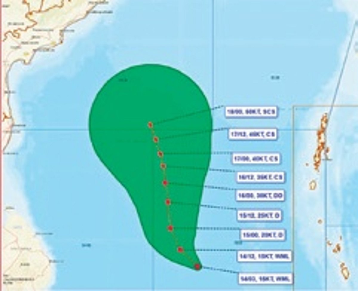
The Bay of Bengal will likely see its third cyclone by Monday evening as a low pressure area intensifies. While the storm's path remains uncertain, the IMD said parts of Odisha will get heavy rain for three days starting Wednesday. Coastal areas may also face strong winds during this period.
BHUBANESWAR : The Bay of Bengal is set to witness its third cyclone within a month as a well-marked low pressure area is likely to intensify into a storm by Monday evening. There is no clarity on the system’s landfall point yet.
As per the India Meteorological Department (IMD), the well-marked low pressure is expected to move northwestwards and intensify into a depression over the same region during the next 24 hours.
Tracking north-northwestwards, the system will take the shape of a cyclone over the central parts of south and adjoining west-central Bay of Bengal around Monday evening, said the national weather body.
However, there is no consensus yet on the system’s course after intensifying, leaving its eventual impact on the east coast uncertain.
Various models have issued different forecasts regarding the track and further intensification of the system. The GFS group of models, including AIGFS have indicated an initial northward movement, followed by north-northeastwards/northeastwards movement reaching towards Myanmar-Bangladesh coasts with intensity reaching up to severe to very severe cyclonic storm around Thursday.
However, ECMWF model, associated AI models and Mithuna model indicated the system’s nearly northwestwards movement reaching near Andhra Pradesh coast across southwest and west-central Bay of Bengal by Thursday.
While there is no unanimity about the system’s path yet, the IMD has predicted that parts of Odisha will receive heavy to very heavy rainfall for three days starting Wednesday.
Gajapati, Ganjam, Puri and Khurda districts may experience rain on Wednesday. Thereafter, the rainfall intensity is expected to increase in Gajapati, Ganjam and Puri districts on Thursday. Jagatsinghpur, Cuttack, Kandhamal, Gajapati, Ganjam, Puri, Khurda and Nayagarh districts will likely experience similar weather conditions on Friday.
The regional met office said wind speeds reaching 50 kmph to 60 kmph and gusting up to 70 kmph may prevail along and off south Odisha coast on Wednesday.