
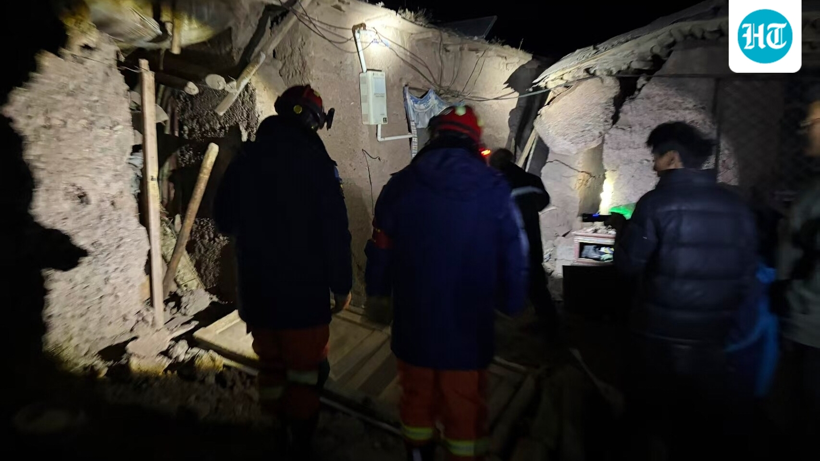
A powerful earthquake hit Tibet at 10.33 pm, leaving 16 dead and hundreds of homes in ruins. The quake struck 191 km east-northeast of Nagqu, causing rockfalls that blocked National Highway 317. Rescue teams started work, but heavy snowfall and broken communications made it hard to reach the affected mountain areas.
According to the US Geological Survey, earthquake struck at 10.33 pm local time, with its epicentre located 191 km (119 miles) east-northeast of Nagqu, in a sparsely populated, high-altitude area of northern Tibet. The agency estimated the quake’s depth at 18 km (11 miles). Nagqu lies more than 300 km (186 miles) north of Lhasa, the capital of Tibet.
The earthquake also triggered rockfalls, prompting local authorities to close a section of National Highway 317. Only emergency, rescue and official support vehicles were allowed to pass as crews worked to clear debris, chinese news agency Xinhua reported, according to AP.
Rescue operations could be hampered by intermittent snowfall forecast in the earthquake-hit region over the next three days, Xinhua reported. Communications have also been disrupted in parts of the region, while local railway authorities have taken emergency measures to halt trains passing through the affected area.
China's state broadcaster CCTV said it was the region's biggest earthquake in the past five years.