
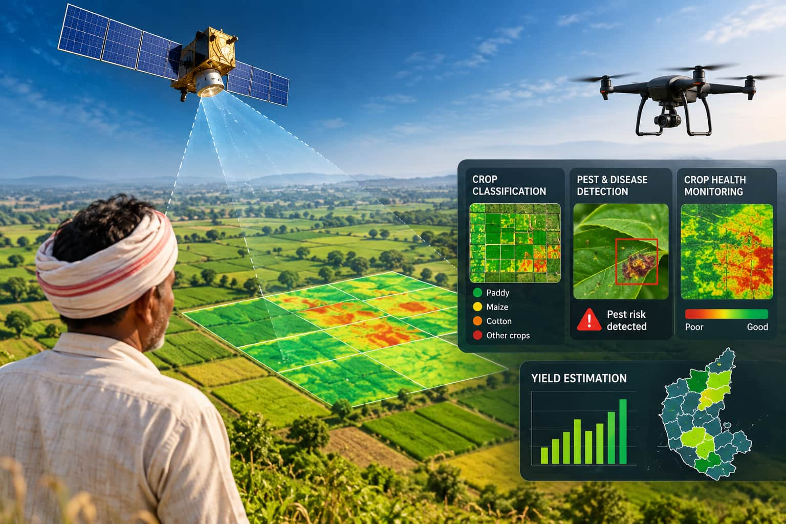
Karnataka will use AI and satellite imagery to monitor crops in drought-hit regions. The Karnataka State Remote Sensing Applications Centre invited bids for a pilot project covering Rabi 2026-27 and Kharif 2027-28. Officials said, "Unless we bring the advantage and benefits of AI to the rural parts of the country."
Karnataka plans to introduce satellite-based crop monitoring and yield estimation, especially in drought-hit regions, to improve agricultural planning and crop-loss assessment. The Karnataka State Remote Sensing Applications Centre (KSRSAC) has recently invited bids from firms, agencies and startups to develop and demonstrate the system. To be launched under the CM Raitha Chaitanya Karnataka Agritech Mission 2026, the pilot will cover two crop seasons -- Rabi 2026-27 and Kharif 2027-28 -- across two study areas of around 500 sq km each. The first area covered will be the Athani taluk in the Belagavi district and the Tikota in the Vijayapura district. The second will include Devadurga and Sindhanur taluks in the Raichur district and Kustagi in the Koppal district. As many as 226 of Karnataka's 240 taluks have been classified as drought-hit by the state government, with crop losses estimated at more than Rs 46,324 crore. Also read: Karnataka to use AI to track crops from farm to plate, 27 agri-tech innovations shortlisted AI to detect pests, assess crop health The proposed system will integrate satellite imagery, drone data, geographic information systems (GIS), weather information and field observations. Artificial intelligence and machine learning (AI/ML) models will classify crops, identify potential pest and disease outbreaks and monitor conditions. The selected firms will assess crop health every fortnight, identify areas showing abnormal or declining crop conditions and generate crop-health maps and crop-wise statistics. Field observations will be used to validate the assessments. KSRSAC will provide high-resolution optical and synthetic aperture radar (SAR) satellite imagery, weather data and available GIS datasets. Drone imagery may be used when required particularly when cloud-free satellite images are unavailable during Kharif season. Village-level yield estimation planned The project will develop validated models to estimate crop yields at the village level, integrating field observations, crop-cutting experiments (CCEs), satellite and drone imagery, weather data and crop-growth parameters, an official said. KSRSAC has said the system should be scalable for potential statewide expansion. A wider rollout will depend on the pilot's performance, accuracy, approvals and procurement procedures. Karnataka expands AI use in agriculture Chief secretary Shalini Rajneesh recently said the state is exploring systems to track agricultural produce from farms to consumers. "Unless we bring the advantage and benefits of AI to the rural parts of the country, we are not doing justice to our commitment that AI will be inclusive and equitable," Rajneesh said at Moneycontrol Startup Conclave.